


North Huron Trail Systems
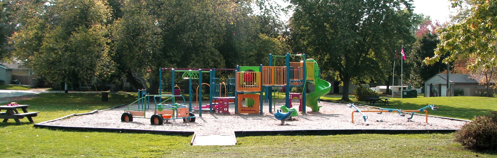
The development of this trail has been a community project including a walking trail, a fitness trail, fish habitat improvement area and a butterfly garden. The trail is situated on the former CPR rail lines and runs adjacent to the Blyth Brook. Along the trail, hikers will see wood duck nesting boxes as you enjoy the spectacular vista view of the countryside. The trail ends at a unique stone arch bridge built by the Grand Trunk Railway. Parking is available just east of the bridge near the butterfly gardens. The trail runs east and west of the bridge located on County Rd. #4 in Blyth. North Huron Recreation Department is trail contact.
Distance 1.37 km with 0.46 km loop Difficulty
Level 1 - easy, for family with young children
Level 2 - moderate, wear comfortable, sturdy shoes
Trail Use Walking, Cycling, Skiing, Wheelchair Accessible, Pets on leash
Trail Hazards None evident
Trail Surface Natural surface, wood chips
Cost for Using Trail None
Driving Directions Blyth is located on County Road #4 (London Rd.) half way between Clinton and Wingham.
A Stone Arch and a Fisherman's Trail photo
Trail Head 518 Queen Street, Blyth
MAP Blyth Brook Community Greenway Trail - part of the G2G trail system
Randy Jones Artistic Interpretation of Blyth.
Distance 3 km loop Difficulty
Level 2-moderate, wear comfortable, sturdy shoes
Trail Use Walking, Skiing, Pets on leash Trail Hazards Poison ivy along the creek and river. Trail west of Nature Centre, bridge out November-May Trail Surface Natural surface, some boardwalks Cost for Trail Use None Driving Directions County Rd. #4 (London Rd.) North of Blyth to Nature Centre Road, turn left (west). About 7 km on right. 38854 Nature Centre Road.
MAP Wawanosh Valley Conservation Area Trail
Scenic View from the CNR Bridge. The Wingham Community Trail runs from east to west, meandering along the old abandoned rail bed, crossing the Maitland River and then it makes a loop around the Turnberry Flood Plain Conservation Area to take you back. Several benches are placed along the trail on the east side of the river. A covered gazebo is at the east end of the trail. Enjoy the scenic view of the river from the old CNR Bridge and the natural growth and plantings along the trail. North Huron Recreation Department is trail contact.
Distance 2.5 km loop Difficulty
Level 1 - east side of river
Level 3 - west side of river
Trail Use Walking, Cycling, Skiing, Wheelchair Accessible, Pets on leash
Trail Hazards None evident
Trail Surface Paved/brick, natural surface, recycled plastic decking on bridge
Cost for Using Trail None
Driving Directions Several trail access points. The trail crosses the main street, Josephine Street, near the railway tracks.
Scenic View from the CNR Bridge. Photo

Contact Us
North Huron Recreation Department
T. 519-357-1208 ext.321.
email this contact


